The Lancashire Place Name Survey
January 2024
January 2024
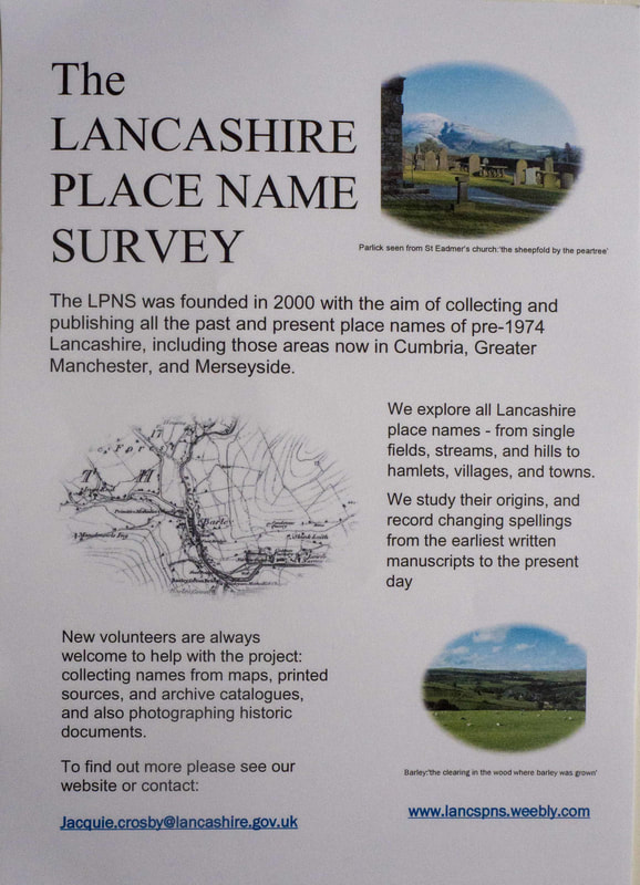
The LPNS was first established in 2000 by the late Dr Mary Higham. The data we need is collected in various ways and from various sources. We started with the OS maps and now we are working on the tithes.
The LPNS collects early word-forms (broadly old spellings) of the names of places in pre-1974 Lancashire.
In 1974 there were significant boundary reforms which removed Liverpool and Manchester with most of their surrounding conurbations from the original county of Lancashire. The detached northern part of Lancashire including the Furness Peninsula and Cartmel was made part of Cumbria. In total, Lancashire lost about two fifths of its original area.
These spellings can show in what language the place was named and also what language it has travelled through.
If we have enough examples then it become possible to identify zones where particular languages were spoken and so reveal something about Lancashire's history.
Why is this important?
Lancashire has a rich and diverse history but we lack the documents which would reveal it. Some counties in the south of England have charters dating to the 8th century which list all the boundary points. In Lancashire the earliest documents which exist date from the 1200s.

